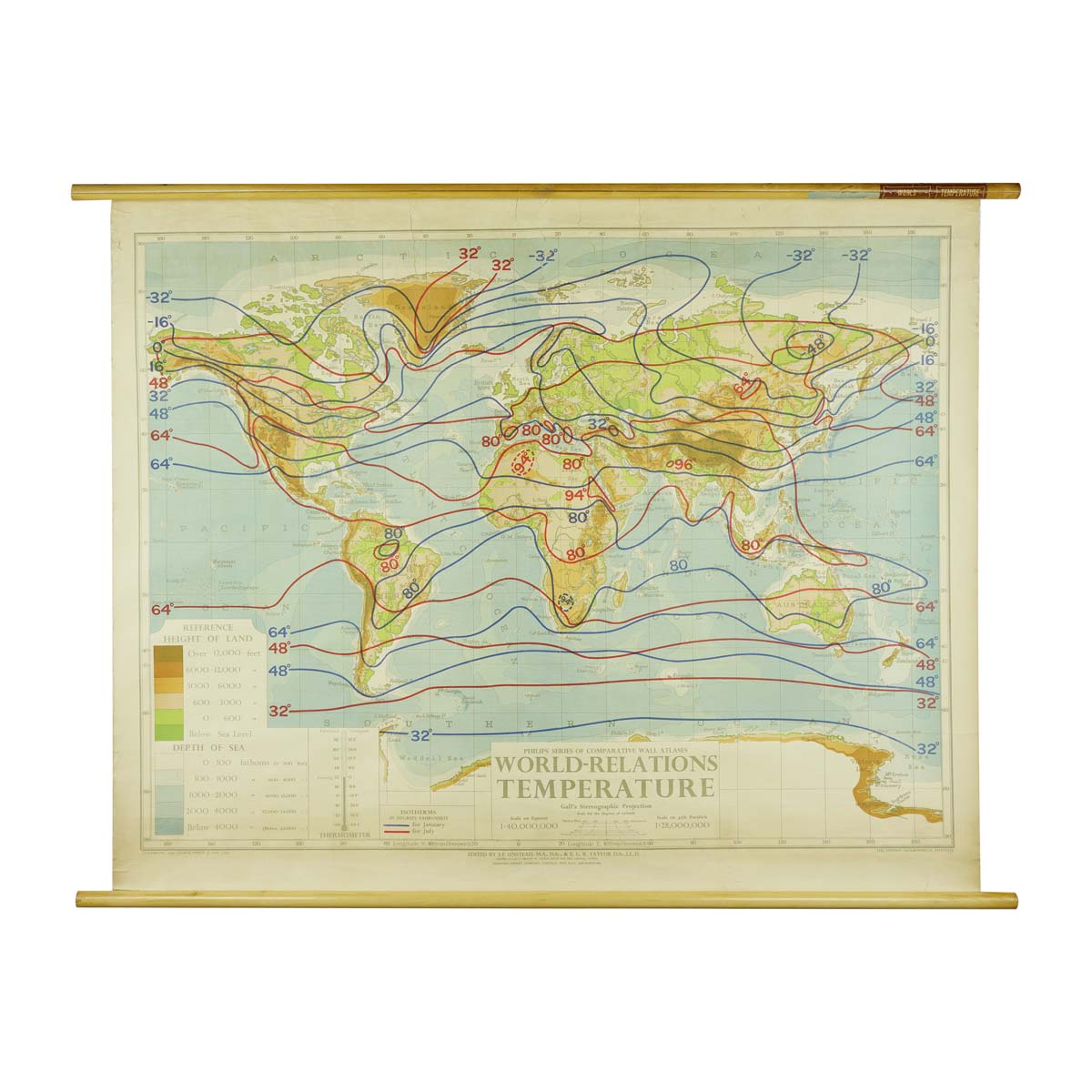
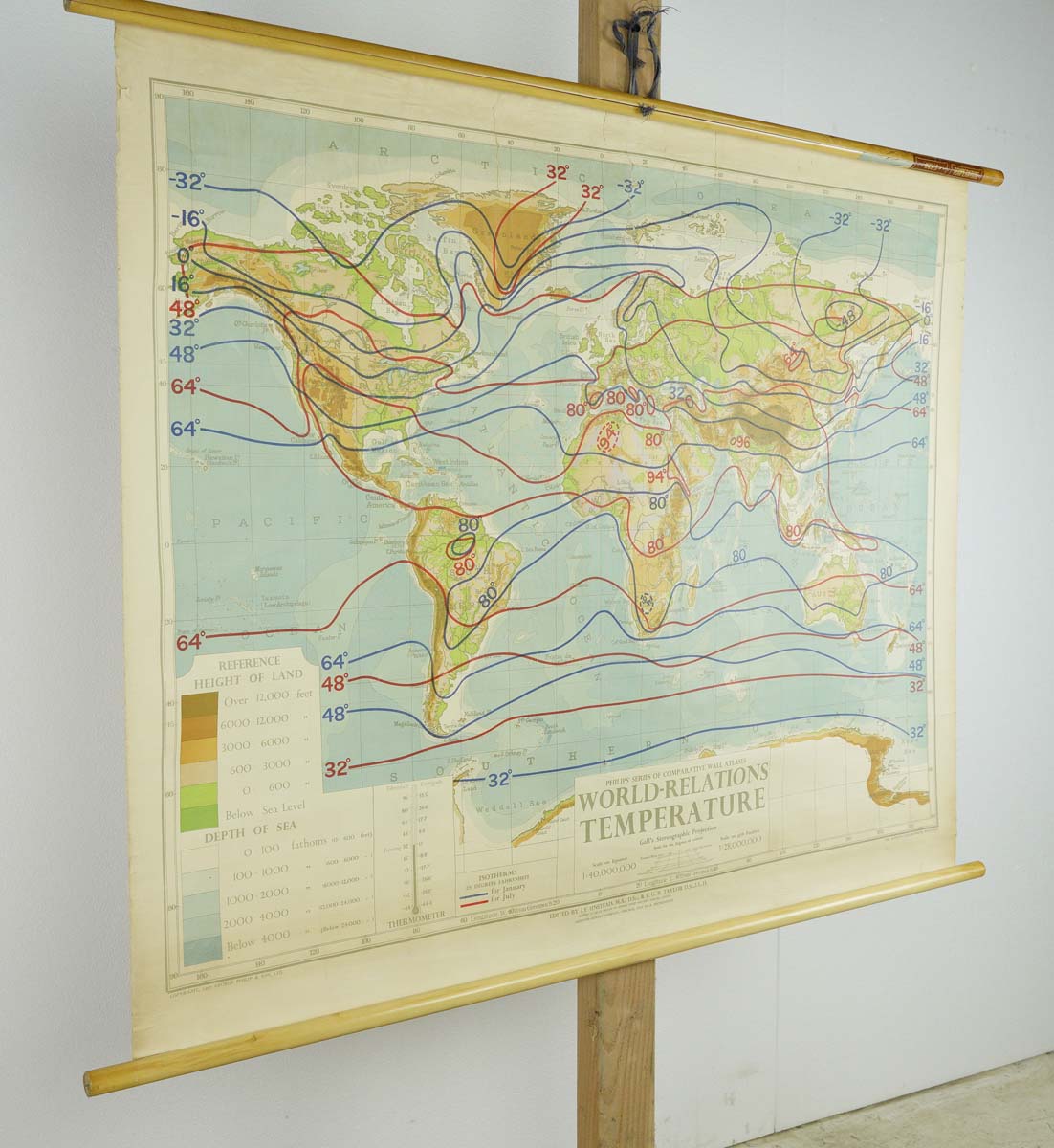
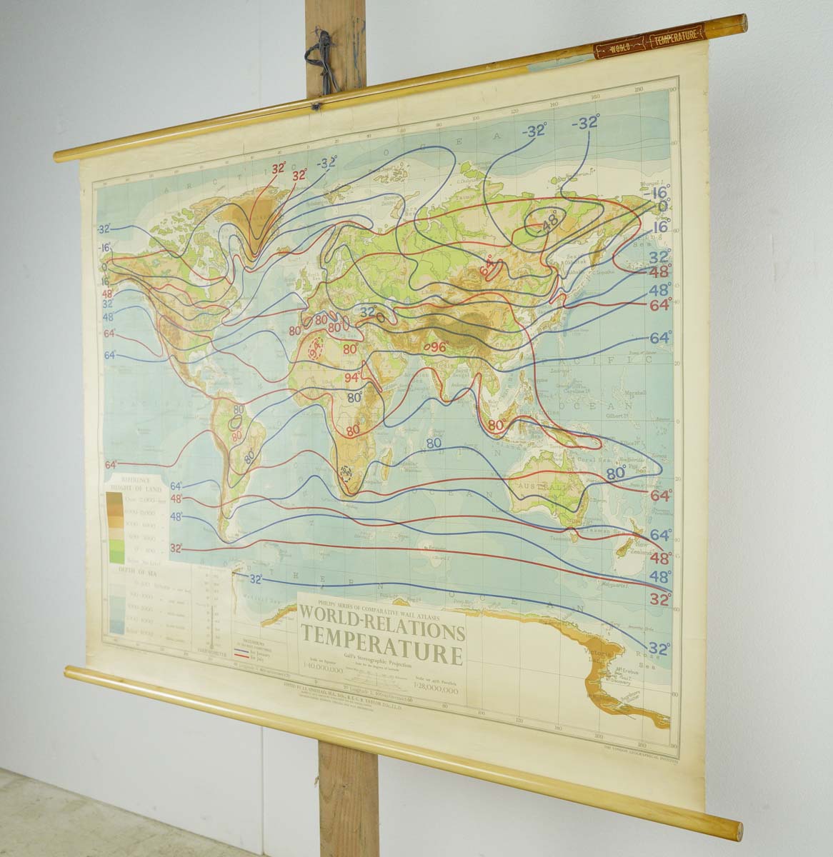
1950s Philips Series of Wall Atlases World Relations Temperature

$475.00

SKU: Q283322 Categories: , ,

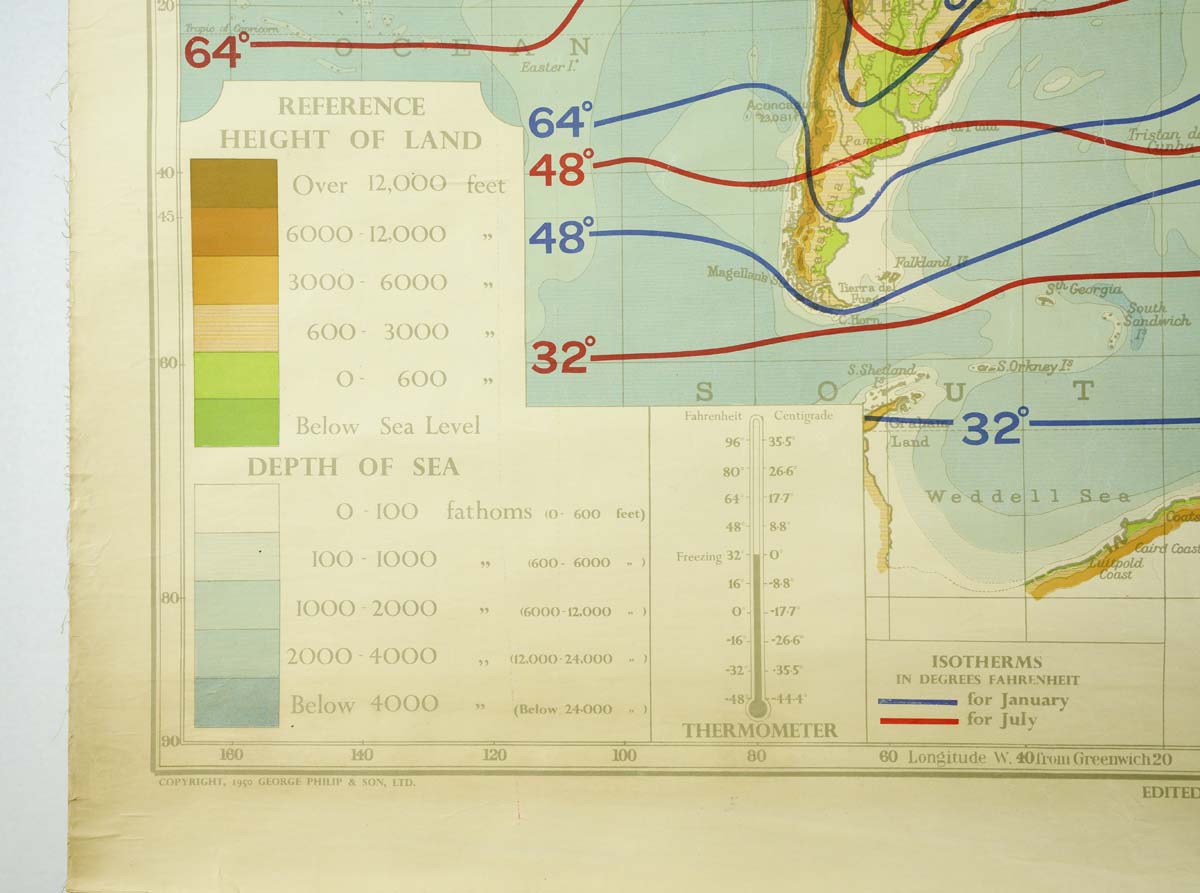
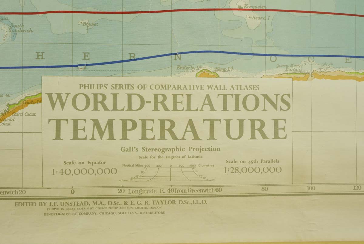
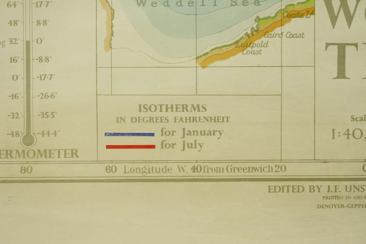
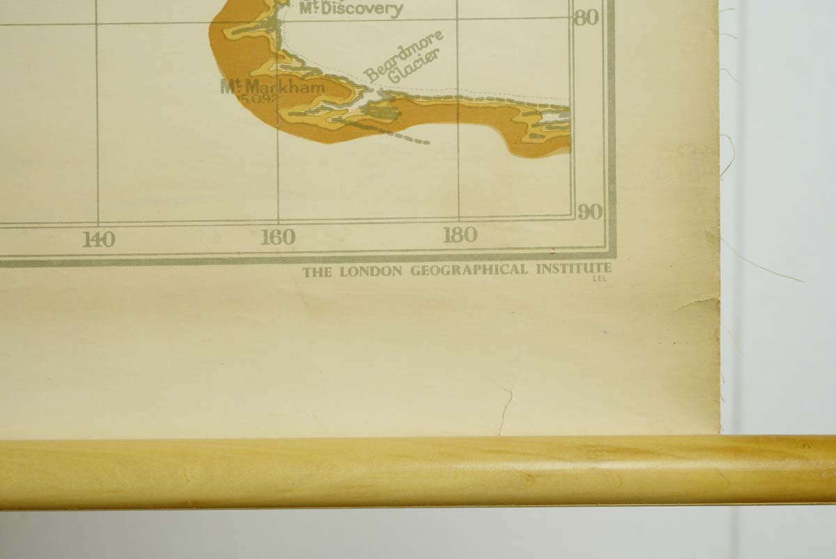
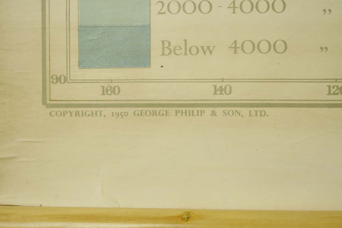
The 1950s Philips Series of Wall Atlases on World Temperature Relations, comparing temperatures in January and July, is a unique historical artifact. Crafted from pine wood and canvas, this map offers insights into climate patterns and variations during that era. Published by the London Geographical Institute and copyrighted in 1950 by George Philip & Sons, LTD, it represents a valuable resource for understanding global climate data and historical geography. This is in good condition, with age appropriate surface wear.

Additional information

Inventory no.

Q283322

Availability

One available

Dimensions

47.062 in. W x 36.625 in. H x 0.875 in. D

Location

Scranton warehouse

Color

Multi color

Composition

Canvas, Pine

Width (in.)

47.062

Height (in.)

36.625

Depth (in.)

0.875

Weight

2 lb.

Manufacturer

London Geographical Institute

Period

1950s

See FAQ

You may return items for refund or exchange within 10 days of your receiving them (online orders only). Returns may be subject to a 15% restocking fee. Custom orders are not returnable. Please email with return requests. Shipping charges are not refundable. Remember though, almost everything here is olde, and is sold as is. If an item is damaged in shipping, please let us know.