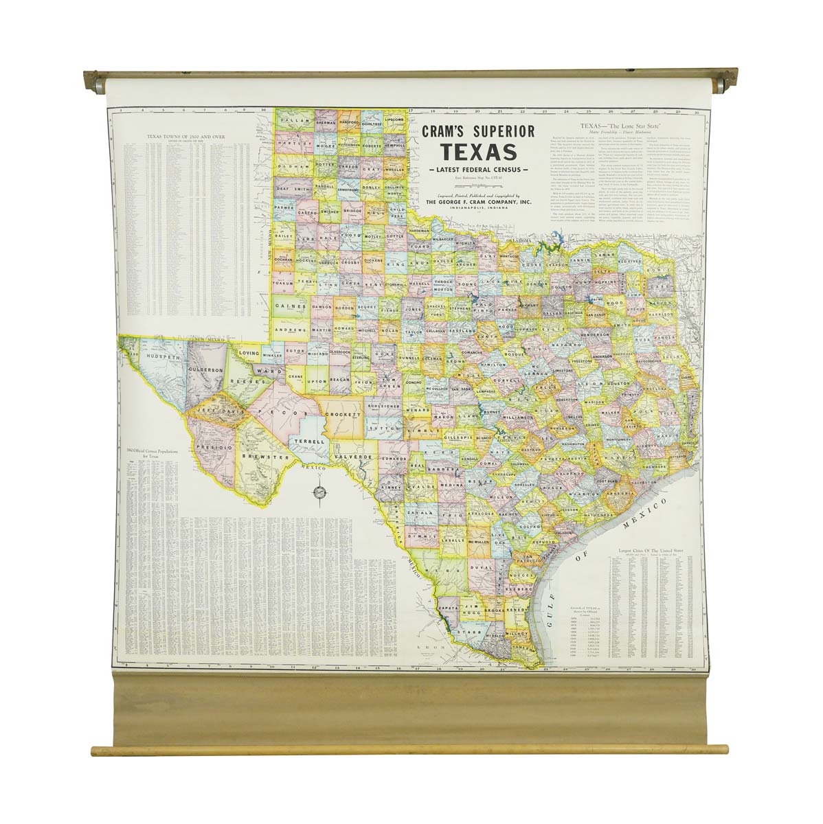
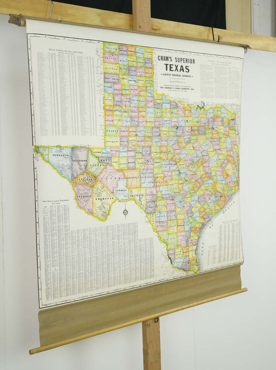
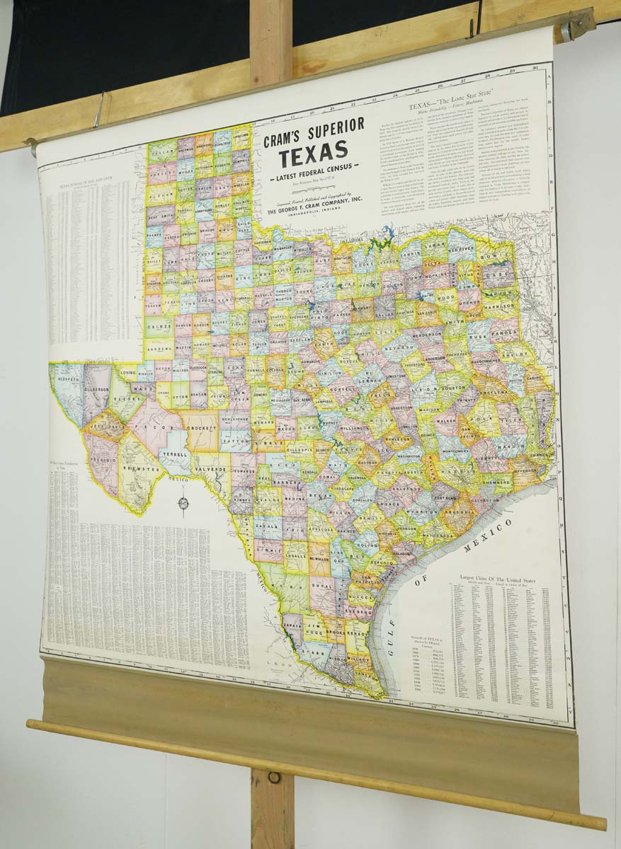
Additional information
| Inventory no. | Q283329 |
|---|---|
| Availability | One available |
| Dimensions | 56 in. H x 53.25 in. W x 0.875 in. D |
| Location | 52nd Street NYC |
| Color | Multi color |
| Composition | Canvas |
| Width (in.) | 53.25 |
| Height (in.) | 56 |
| Depth (in.) | 0.875 |
| Weight | 5 lb. |
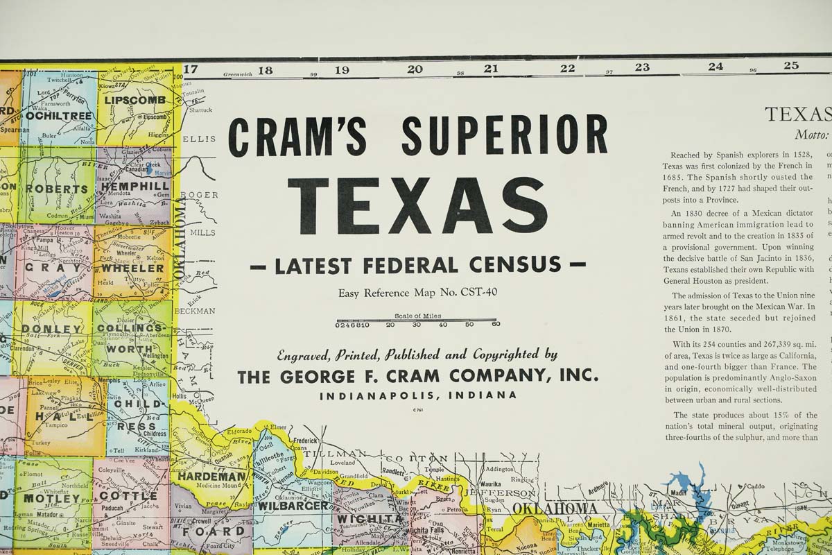
| Manufacturer | Cram's |
| Period | 1910s |
